Detailed investigation report of National Geophysical Research Institute Hyderabad regarding landslide in Joshimath made public
Dehradun. The detailed investigation report of National Geophysical Research Institute (NGRI), Hyderabad regarding the landslide situation in Joshimath has been made public. According to the report, the landslide situation which is visible above the surface in Joshimath has also been found underground. In the study, a large area of Joshimath has been shown to be in high risk zone at a depth of 20 to 30 meters.
According to the NGRI report, landslide areas in Joshimath have been divided into two zones of high risk and medium risk. According to this zoning, evidence of landslides at a depth of 20 to 30 meters has been found in major areas of Joshimath (about 30 percent). Therefore, this part has been described as high risk. A small part of Badrinath Road has also been mentioned in this zone. Apart from this, there is about 20 percent area inside the ground, where evidence of landslide has been found at a depth of 15 meters.
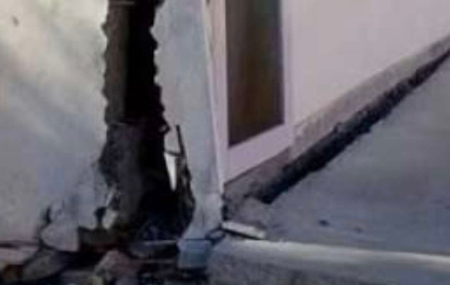
According to the report of NGRI, the slopes and boulders in north facing Joshimath are leaning in the same direction and are shifting or sinking accordingly. The study states that between December 2022 and January 2023, this entire area has shifted by more than six centimeters. Its effect on the ground is visible in the form of a difference of up to one meter at some places. This situation of subsidence has been seen both in length and height. The risk has been found to be higher near drains and water streams. Due to this many streams disappeared or changed their route.
Uttarakhand State Disaster Management Authority (USDMA) also made public the report of the National Institute of Hydrology (NIH) on Saturday. This includes the facts of testing the water source of burst water in JP Colony and other areas of Joshimath as well as the site of NTPC which is constructing the hydroelectric project. According to the report, the origin of the waterfall that burst with strong flow in JP Colony has been attributed to Sunil Forest and Auli area. In the investigation of isotopes of water, it was found that there is a difference between the source water of NTPC site and JP site and other areas of Joshimath.
A possibility has been expressed that due to some blockage inside the ground, a temporary reservoir of water was created somewhere. Which burst due to some pressure and gushed out in the form of a waterfall from the weak surface area. It can be roughly estimated that this storage would be 10.66 million liters and it would have taken 12 to 15 months to accumulate. According to previous data, in the year 2022, 190 mm rainfall was recorded in Joshimath area within 24 hours. This could also be a reason for storage.
According to scientists, subsidence is one of the common geomechanical and multi-technical consequences of groundwater depletion. This subsidence can range from a few centimeters to a few metres. In this case it was found up to 14.5 meters. Because, the geography of Joshimath already has a flaw of its own. Because, the entire area is situated on an ancient landslide deposit amidst the mountain slope.